
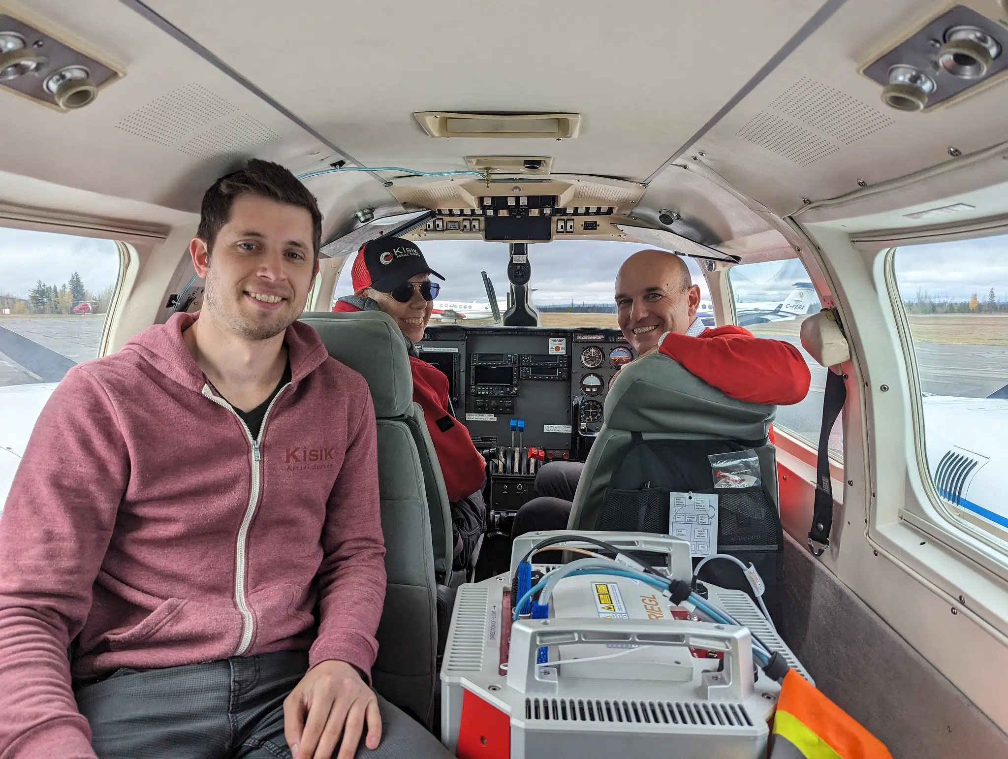
Stikine MLA Nathan Cullen took to the skies last Friday to check out a new project which aims to map out every detail of BC’s landscape.
Under the LidarBC program, the province is looking to provide key data to help communities with land-use planning and emergency response.
LiDAR, or light detection and ranging, uses lasers to measure distances from the air to provide data on BC’s complex terrain.
That data is used to inform climate emergency response, support habitat and ecosystem protection, and inform sustainable forestry management.
BC’s new Lidar program kicked off last week, with the Kisik Geospatial and Aerial Survey conducting the work.


Comments